Summit Kulm
easy Hiking · Grimming-Donnersbachtal
Tour characteristics
Stamina
Tour-Infos
Distance: 9.37 km
Duration: 03:00 h
Ascent: 263 m
Descent: 263 m
Best time of year
january
february
march
april
may
june
july
august
september
october
november
december
The tour
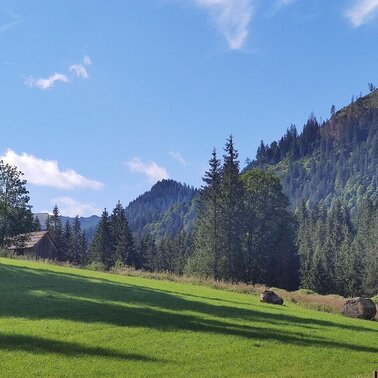
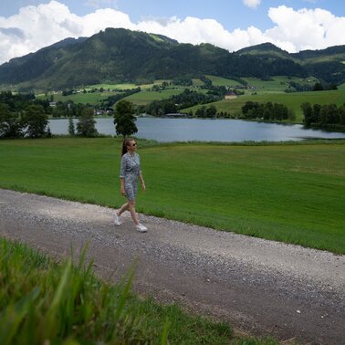
SMALL SUMMIT HAPPINESS BIG TIME. The hike leads past the Putterersee lake to the campsite and up to Kulm on forest paths. The bench next to the small summit cross invites you to rest. Enjoy the view of Aigen before you hike back to the starting point.
More information
Turn-by-turn directions
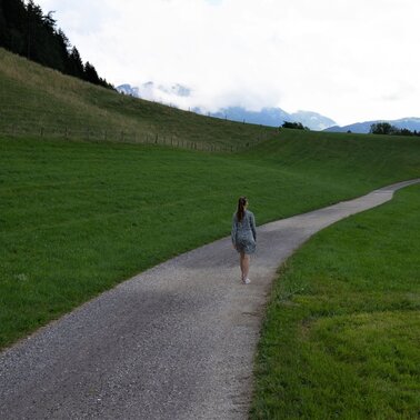
The marked trail no. 6 leads you to the lake and in the direction of the campsite. From there you march on forest paths up to the Kulm. At the latest when you are at the top, you will feel warm at the summit cross! The bench next to it invites you to rest and have a snack. Take a few deep breaths and enjoy the view of Aigen. It will surprise you! You can hike back along the same path or via the eastern side on path no. 1. The Putterersee lake is always winking at you.
Way number: 6
Getting there
In Wörschach or Trautenfels turn off the Ennstalbundesstraße (B320) and continue to the center of Aigen.
With the bus 940/941 to th bus stop ,,Putterersee''. Near there is the start point of the tour.
The next trainstation is far away 6 kilometers from Aigen.
Parking
Free, large parkingplace at the tennis court.
Start
Parking at the tennis court
Destination
Parking at the tennis court
Equipment
- Plan your trip in advance, taking into account walking time, distance, elevation gain, hazards, and weather reports.
- Let others know where you are going and when you want to be back.
- Turn back in good time if the weather deteriorates. If you are caught in a thunderstorm, stay away from free-standing trees and wait out the storm, crouching if possible.
- Stay on marked trails and remember to close pasture fences.
- If you are a dog owner: Clarify before the hike if you need to cross a pasture. Keep your dog on a leash and make sure it stays calm. If a cow attacks, let the dog off the leash immediately. Never pick him up to defend him.
Author’s recommendation
Read the the tipps on the Info-board at the start point.
Tips, hints and links
Tourism information: www.schladming-dachstein.at
Tourism blog: www.derbergdastal.at
Tourist Office Schladming-Dachstein
Ramsauerstrasse 756
8970 Schladming
T: +43 3687 23310
Garbage on meadows and paths can not smell mountain and valley. Please take it with you. Agriculture and forestry are important partners for Berg und Tal. They allow you to walk and drive on many of their paths. Be aware that only good cooperation will guarantee your recreational enjoyment in the future.
- GRIMMING-DONNERSBACHTAL Leisure Map (1:31.000). Available free of charge at tourist offices and lodging establishments.
- SCHLADMING-DACHSTEIN Hiking Map (1:50.000)
Weather forecast
Date
Mostly thick clouds, and a chance of some snowfall in the first half of the day.
Dull throughout the day with light snowfall every once in a while.
Morning clouds will clear gradually. Then frequent sunny periods.


