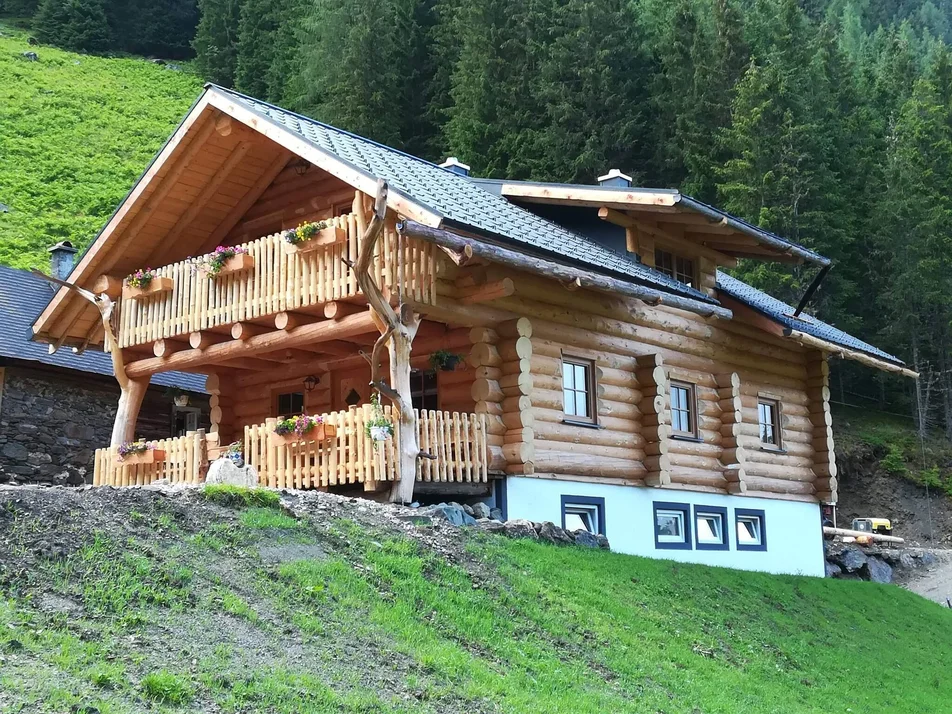
Herb hike to the Moditzerhütte
eenvoudig Family hikes · Naturpark Sölktäler
Interested visitors can gain exciting and informative insights into the flora of the Sölktäler at numerous stations along the way.
The trail starts at the Moditzerhütte parking lot on the eastern side of the valley. First you walk along the farm access road to the Moditzer farmstead, where you walk through the middle of the farm to the alpine access road. You now hike steadily uphill along the alpine access road through the forest until you reach the Knallalm. Here, the Moditzerhütte invites you to take a leisurely break. Return to the starting point via the same route.
The opening hours of the Moditzeralmhütte can be found here.
Tip: The Trogermühle, the only intact mill in the Sölktäler, can be easily reached in approx. 10 minutes from the Moditzerhütte parking lot. In the summer months, you can watch the mill work and see how the grain is ground into flour.
Fotogalerij


Cab Stefan Mayer: +43 676 54 09 858
Valley bus from July 5 to September 7, 2025 - this makes crossings in the Sölktäler Nature Park possible. You can also travel comfortably by train and the valley bus will take you to the starting point of your hike. Click here for the timetable.
GPS data and orientation aids: Available GPS data - as well as hiking maps - are only an orientation aid, since they can never represent an exact image or the richness of detail of a path in reality. Especially in the case of danger spots, it must therefore always be decided in the end on the basis of the conditions on site whether and how the further course of the path looks like.
In case of emergency, please dial the following emergency numbers:
No. 140 - for alpine emergencies - Austria-wide
No. 112 - Euro emergency call GSM emergency call service
Take rainproof and warm clothes and enough water, possibly also a snack, wear shoes with non-slip profile soles. A first aid kit should also be in your backpack.
For more information, please contact the Schladming Dachstein Tourist Office - Sölktäler Nature Park Information Center:
Phone: +43 3687 23310 501
mailto:info@schladming-dachstein.at
Stein an der Enns 107
8961 Sölk
The brochure “Schladming-Dachstein Hiking” is available in all information offices in the region.


