Snowshoe tour in Rohrmoos
snadné Snowshoe hikes · Schladming
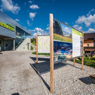
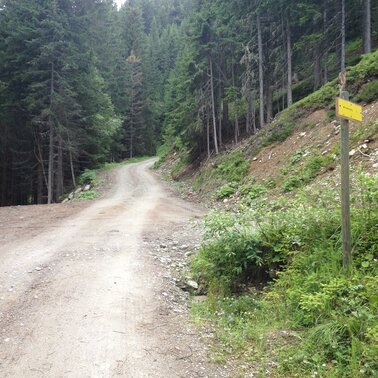
The Rohrmoos tour is a snow shoeing tour via forest roads, hollow ways in the forest, and the snow-covered meadows of "Rohrmooser Frei". Refreshment stops along the way are Tauernalm Hochwurzen, Restaurant Braunhofer's and "Alter Stadl" at Familienhotel Austria.
- Buses of Planai-Hochwurzen-Bahnen: www.planaibus.at
Before each and every ski tour or snow shoe walk you should check the most recent avalanche warnings which can be found at www.lawine-steiermark.at.
In winter time it is therefore important to also be careful on supposedly easy walks. Sections that are in the shadows can easily get icy, and slopes on the side of the trail may have avalanche hazard. Mountain sport is always carried out under personal responsibility - in winter even more than in summer. Tourist offices or avalanche warning services do not take any responsibility in respect to information provided.
GPS data and orienteering
Available GPS data - just like hiking maps - is only a guidance for orientation and can never depict a trail exactly with all its details. Especially at dangerous spots it is essential to judge on site how to proceed.
In an emergency please call:
- 140 - for Alpine emergencies (all over Austria)
- 112 - European GSM emergency number
From December until March the tourist office Schladming offers guided snow shoeing tours every Thursday.For details please contact the tourist office:
- Phone: +43 3687 22777-22
- eMail: office@schladming.com
Tourist information & guided tours: www.schladming.com
Information about bus schedules: www.planaibus.at
Overview map "WiNTER GLiNT", available at the tourist office Schladming. Overview map "WiNTER GLiNT", available at the tourist office Schladming.


