From Hochwurzen to the village of Untertal
střední Hiking · Schladming
Walk down until the trail joins a forest lane and path n° 773, which you will follow further downhill. Just above farmhouse vlg. "Pocher" the trail exits from the forest at "Johannahöhe", where you enjoy a great view over the entrance into the valley of Obertal. Follow the trail downhill over meadows past the "Pocher" and "Andenbacher" farms, where you make a left and walk along the road (Ahornweg) until you reach the main road (Tälerstraße) at a hairpin. There you make a right and follow the path to Untertal village.
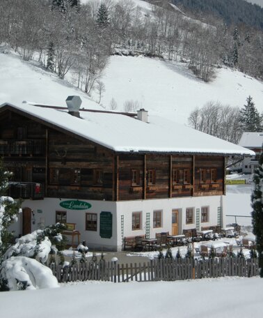
In the village restaurant Landalm is a good choice for a break. From the village buses run back to Rohrmoos, the valley terminal of Hochwurzen cable-car and Schladming. If you want to walk a bit further you can extend the tour to Schladming with a walk through Talbacklamm gorge (+45 minutes).
- Buses of Planai-Hochwurzen-Bahnen: www.planaibus.at
From there continue with the cable-car to Hochwurzenhütte chalet on the summit.
- Opeating times of the Hochwurzen cable-car: www.planai.at
GPS data and orienteering
Available GPS data - just like hiking maps - is only a guidance for orientation and can never depict a trail exactly with all its details. Especially at dangerous spots it is essential to judge on site how to proceed.
In an emergency please call:
- 140 - for Alpine emergencies (all over Austria)
- 112 - European GSM emergency number
Information about bus schedules and cable-car operating times: www.planaibus.at
- Hiking map ‘Hiking WEST’ available at the information offices in the region.
- Schladming hiking map, 1:25,000, available at the Schladming information office.
- Hiking map Schladming-Dachstein, 1:50,000, available at the information offices in the region.
- Hiking guide Schladming-Dachstein by Herbert Raffalt, available at the information offices in the region.


