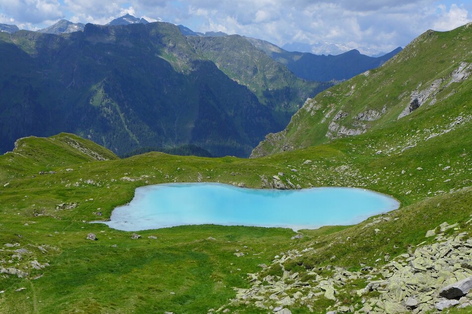
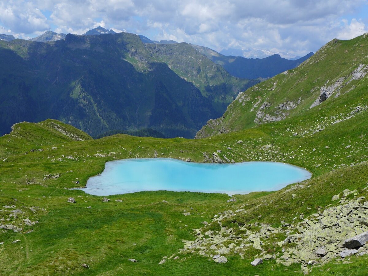
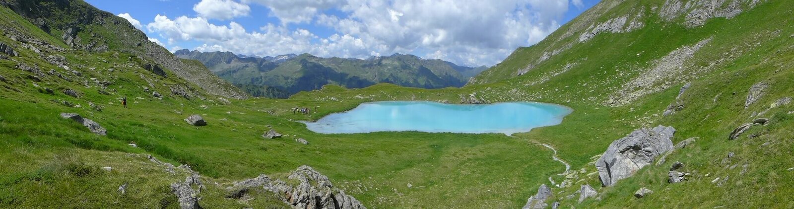
Seekarlsee - Caribbean feeling guaranteed
moderate Water hikes · Naturpark Sölktäler
Tour characteristics
Stamina
Technique
Tour-Infos
Distance: 11.98 km
Duration: 06:30 h
Ascent: 1000 m
Descent: 1000 m
Best time of year
january
february
march
april
may
june
july
august
september
october
november
december
The tour
Dear hikers, enjoy the uniqueness of this landscape and please be careful with it! Take garbage back to the valley. No pollution in the lake. Please do not go into the water and bathe! Otherwise, the lake bottom will be clearly dark discoloured as a result of turbulence. Thanks to your common sense, the uniqueness and beauty will be preserved for everyone. Thank you very much! The Nature Park Team and the Alm Community
Gallery


More information
Turn-by-turn directions
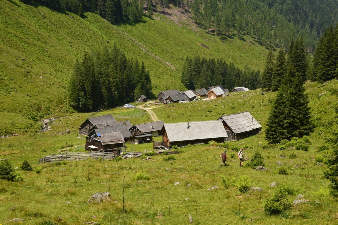
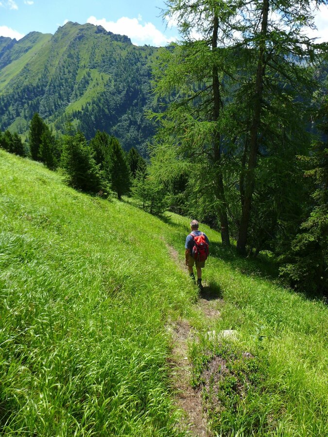
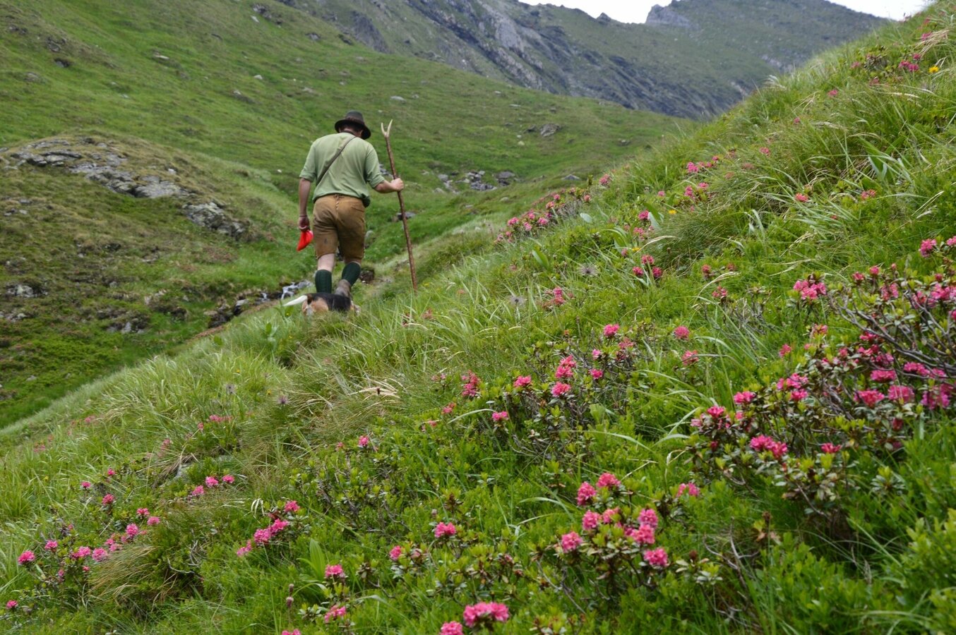
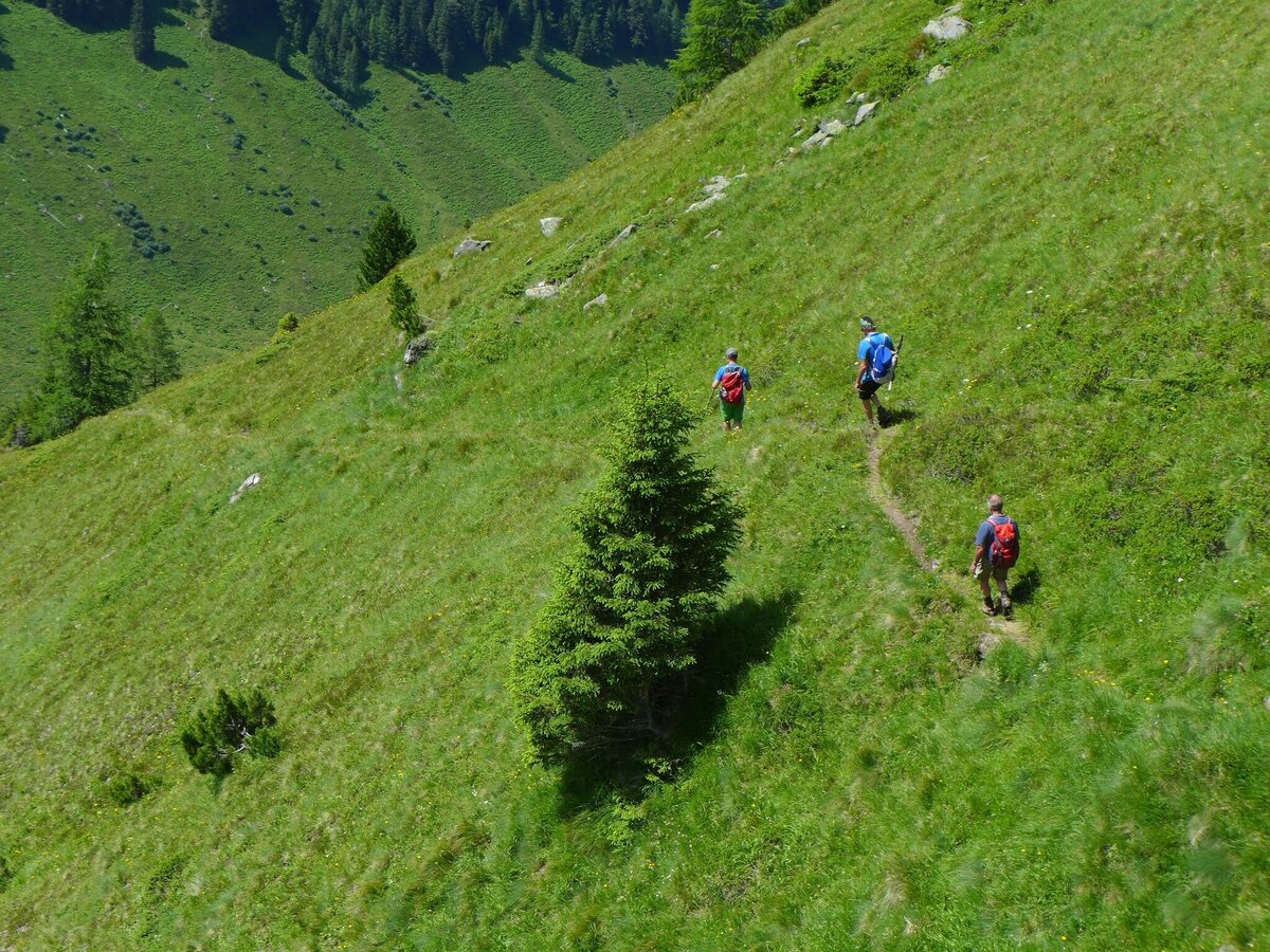
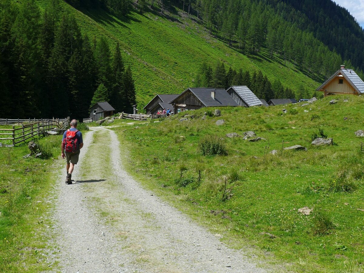
From the Tuchmoar car park (WGS84: O 13,940455, N 47,329039) take path no. 790 along the forest road towards Tuchmoaralm, past the huts and then left following the signs for Seekarlscharte. Follow the path through a high forest. In serpentines the path leads over a steep step. In the area of the forest line the terrain becomes somewhat flatter and leads directly to the turquoise Seekarlsee at 2,140m above sea level.
Start
Car park Tuchmoar
Destination
Seekarlsee
Equipment
sturdy shoes
Author’s recommendation
Visit to the Tuchmoaralm, Blasenhütte or Köckhütte
Weather forecast
Date
Unsettled weather throughout the day with showers now and then.
Dry and partly sunny throughout the day, with cloudy periods from time to time.
The day will be dry, but mostly cloudy with occasional sunny spells.


