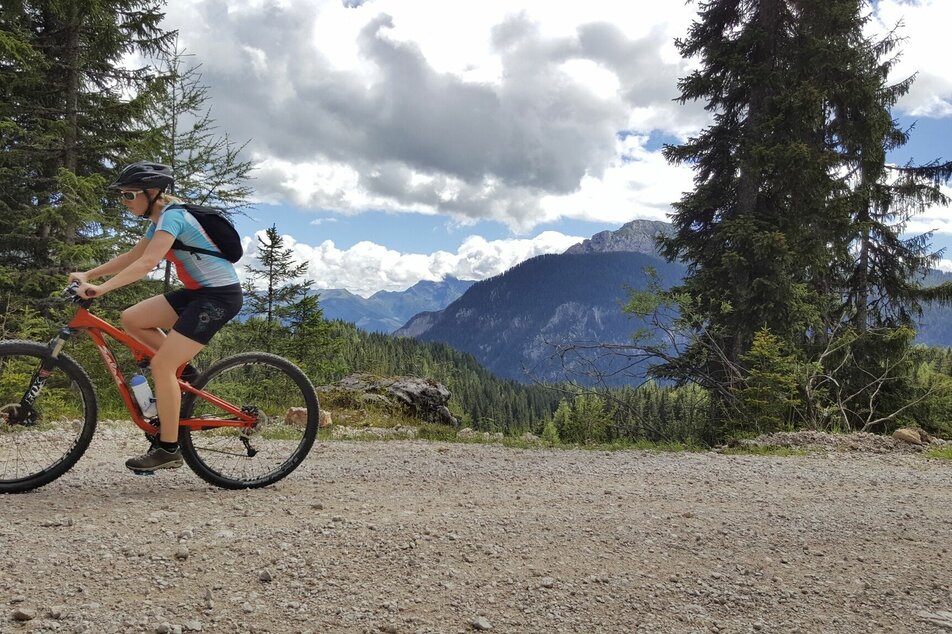
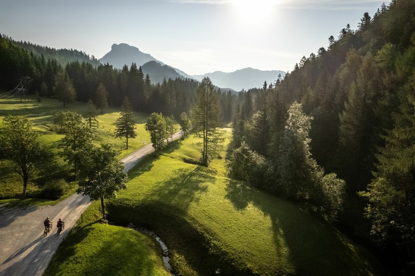
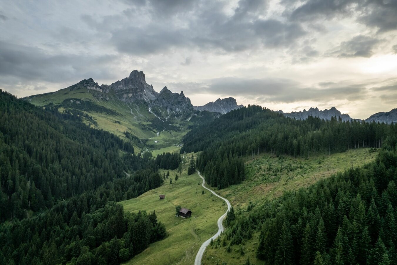
Dachstein Tour
moderate partially opened Mountainbike · Ramsau am Dachstein
Ladies and Gentlemen
Due to the repair of storm damage, we have to
From today on, Grubstrasse will be blocked at the level of the Veitenhütte. Also affected
is the “Bierensteig” hiking trail. See also the site plan in the appendix.
The lockdown is very short-term, we wanted it for
These tourist-sensitive streets are dying during the current period of bad weather
to use. The ban is expected to last until May 3, 2024.
Thank you for your understanding,
Simon Holzer
You can find detailed information on the various options under:
https://www.dachsteinrunde.at/
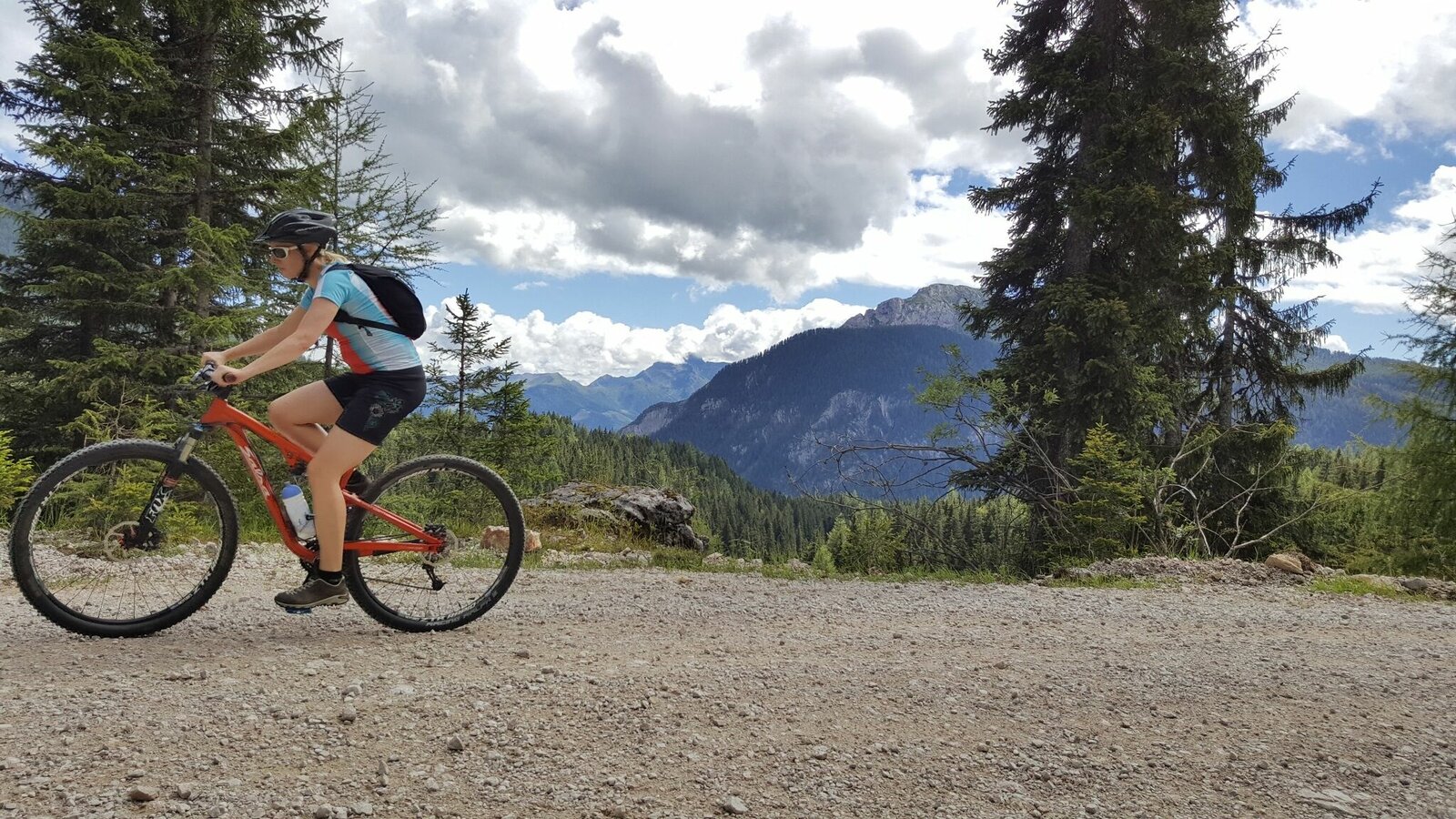
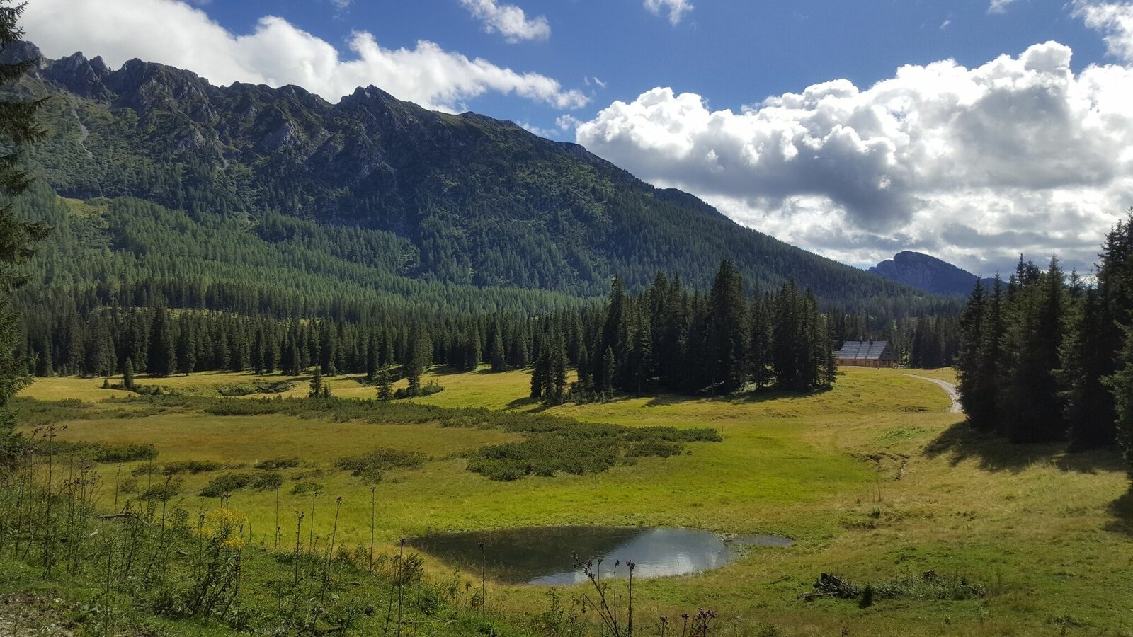
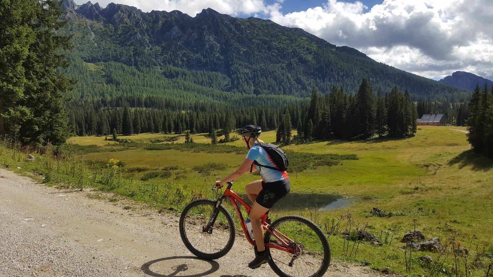
Gallery


The start is in Ramsau-Ort, from where it goes westwards on the main road towards the Dachstein cable car, at the Auwirt take the turn-off to the left, on a forest path upwards towards Ochsenalm, at a crossroads turn right over the Grah footbridge. There we get on the Bundesforststraße until just before Filzmoos. On the main road we drive through the famous mountain village of Filzmoos, in direction to Mautstraße and the impressive mountain "Bischofsmütze". We go left up on a forest road in direction Marcheggsattel and down to Neuberg on an asphalt road, right up to the restaurant Neubergerhof past on a steeper forest road to the Langeggsattel. On the right we see the western part of the Dachstein massif before we come into contact with the Tennengebirge.
From the Langeggsattel we turn left down to the settlement Neuhaus near Lungötz in the Lammertal. A short distance uphill on a forest path, then we finally reach the Lammertal, where we accompany the river of the same name on asphalted side and main roads. At Niedergschwandt we go up again in direction Zwieselalm. Before the Kleinedtalm, where this time we experience the Dachstein glacier up close from the south side, we turn left up to the Hornspitze, connected by a cable car from Rußbach. The heart of a "Downhiller" will beat faster now, because when we drive down to Rußbach, the narrow gravel road is quite busy at the beginning. We drive to Rußbach partly on meadow paths. From there right on the asphalted, for the time being old road, then junction into the new road up to the pass Gschütt.
On the main road we go down after the boundary stone for about 1 km, turn left into the forest road to Iglmoosalm and come via the village of Ramsau back onto the main road, cross it and immediately turn right again, first on dirt roads then again on the main road along the Gosaubach. After the first bridge over the Gosaubach we turn right into the Gosau Leitenstraße, out to the Hallstätter See. From the Gosauzwang junction, turn left towards Bad Goisern along the lakeshore to the village of Steeg and turn right towards St. Agatha near Bad Goisern. At the foot of the Pötschen pass we drive a short distance along the main road at the St. Agatha petrol station and after the bridge left up the old, initially steep Pötschen road, past the Sarstein, until we reach the pass summit. After the pass, we take a forest road to the right, up RI Höheralm and down to Sommersbergsee.
On an asphalt road we drive towards Bad Aussee (railway station) and soon see the mighty Dachstein glacier on the right hand side. Arrived in Bad Aussee, we drive along the Kainisch Traun on a rather flat forest path up to the Ödensee near Pichl-Kainisch. Afterwards we go to Mühlreith, on a forest path to the Steinitzenalm, where we see the mighty mountain Grimming, which is again in the Ennstal, particularly well. Through the Almgraben we reach the Salza reservoir, not far from Bad Mitterndorf. On the Viehbergalm the biker can expect a wonderful view of the Dachstein glacier with a unique panorama. We descend quickly through the famous "ovens" to Gröbming and on to Moosheim on an asphalt road. Along the R7 we reach Pruggern. From there we drive on a nature trail along the Enns to Aich-Assach. We continue until before Weißenbach/H. along the alpine tour left steeply up on a forest path up to the so-called Burgstaller. We cross the main road below the Ramsau, "the nordic world champion village", at the Lodenwalke. A varied path, partly forest path, meadow path, asphalt path leads us up south to Kulmberg. Downhill on a root trail you have to do some sportive driving before you get back to the starting point in Ramsau-Ort. Signposting for this tour: using the red Dachstein Round Tables!
- Charger for e-Bike
- Replacement hose
- Pump
- Mini tool
- Map


